
價格:免費
檔案大小:30.7 MB
版本需求:需要 iOS 10.2 或以上版本。與 iPhone、iPad 及 iPod touch 相容。
支援語言:英語
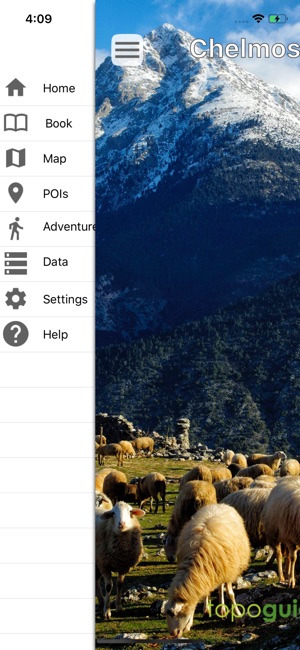
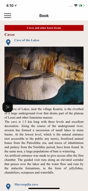
Mt. Chelmos is the most interesting mountain of Northern Peloponnese, Greece. This area offers gorgeous landscapes, such as the Vouraïkos Gorge, traditional villages like Kalavryta, Byzantine monasteries, a modern ski resort, the impressive Cave of the Lakes and a picturesque rack train. Most of the area is protected as a National Park and is awarded by UNESCO as on of the four Greek Geoparks.
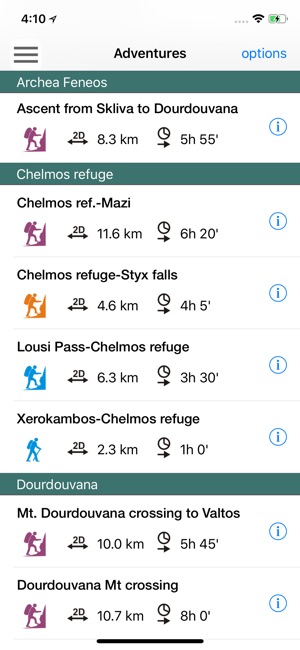
Mt. Chelmos topoguide is a digital field guide for hikers, bikers and nature lovers and provides routing, descriptions and photos for 33 Adventures (29 hiking and mountaineering trails, 3 bike routes and one geological trip), covering Mt. Chelmos area. Each Adventure has a description, photos and a POIs list. Hiking routes include European Trail E4.
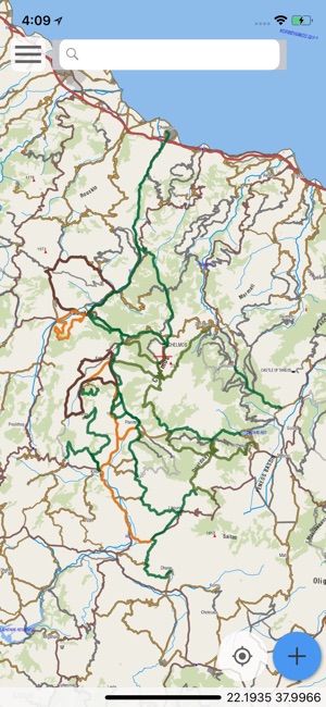
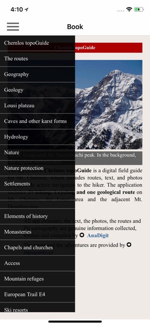
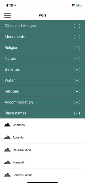
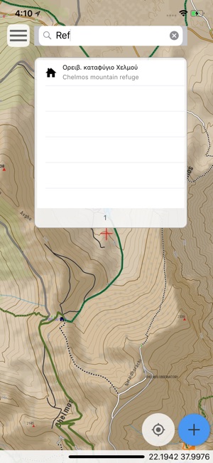
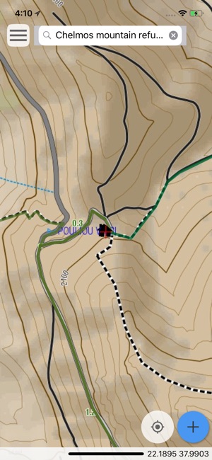
The application offers detailed offline maps and an extensive introduction on geography, geology, the history and the nature of Mt. Chelmos. The app offers also a useful list of POIs with a search feature on the map screen.
The trails list includes easy and moderate hiking trails and long mountain traverses, of a total length of 270 km.
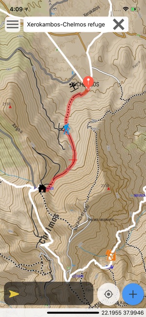
In the field, the app identifies the nearest adventure, guides you to it and then along it by displaying messages and warnings on every junction or other important location. On each Point of Interest, photos and texts are displayed on the map. If the hiker gets off-trail, the app indicates the shorter way to get back safely.
Also, a navigation feature allows to calculate routes and distances along roads and paths anywhere in the area.
The cartographic company Topoguide, creator of the application, has issued previously detailed hiking maps at a scale of 1:50,000 and a field guide for Mt. Chelmos, as well as hundreds other hiking maps for Greece (eg. maps of Mt. Olympus, Crete, Zagori, Sifnos, Naxos and other Aegean islands). To build the application and ensure data accuracy, all paths of Mt. Chelmos have been recorded again during 2015 and 2018.
DISCLAIMER
During track recording, continued use of GPS can dramatically decrease battery life.
支援平台:iPhone, iPad